Defense

We develop next-generation capabilities for our warfighters, specializing in autonomy, precision guidance and GPS denied navigation.

Autonomy & Lethality

Autonomous systems are playing an increasing role on the modern-day battlefield. Teaming humans and machines provides force multiplication and keeps commanders and soldiers armed with real-time information, intelligence and insight while providing additional layers of safety.

OKSI innovates ahead of the curve. We introduce critical technologies to DoD and allied forces using AI/ML to enhance true autonomy. We equip weapons and reconnaissance systems with intelligence to maneuver, capture data and take rapid and effective tactical action. We work every day to maintain dominance in intelligent and autonomous systems to stay ahead of adversaries.
Sentry Intelligent Remote Weapon System »

Close crop photo of the tip of a scope

Precision weapon systems

Combining AI with multimodal sensing technologies we give standard systems intelligence and autonomy to enhance and augment the modern-day battlefield.

Precision Seeker systems

Our novel seeker solutions provide high confidence acquisition, tracking, and precise steering to maximize weapon effectiveness without being dependent on GPS or laser guidance. 

Network Enabled Systems

Our systems provide 3D networking technologies to find, fix, broadcast or disseminate critical targeting information and provide weapon-to-target pairing suggestions. 

Autonomous Teaming & Swarm

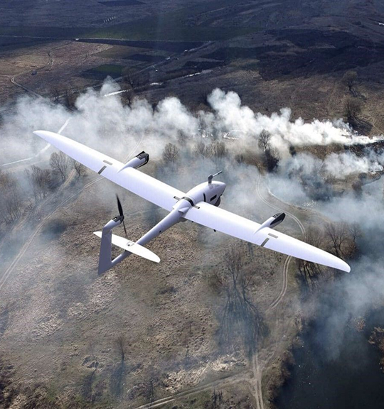
Our uAS integrated systems perform calculated teaming and swarming missions. Operating in total autonomy our technology can collaborate in real time to conduct, divide and conquer ISR mission sets and provide targeting information to commanders. 

GPS-Denied Navigation

Our state-of-the-art computer vision algorithms equip aerial and ground systems with the ability to navigate in GPS-denied environments, providing absolute positional updates.

Computer Vision

Computer Vision

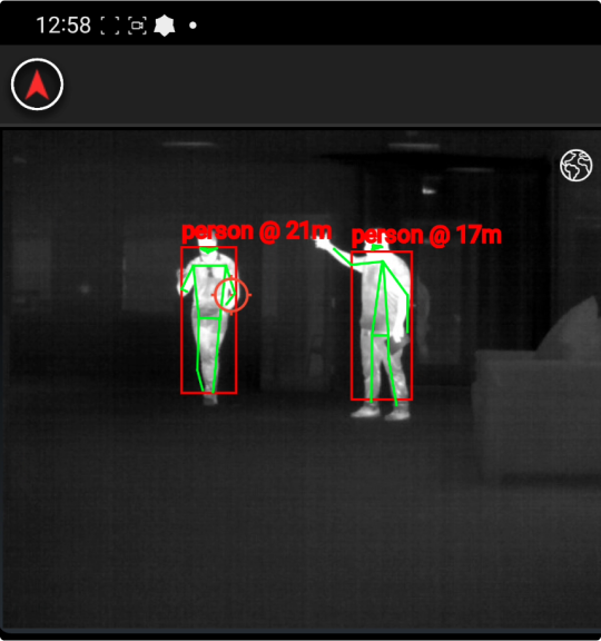
Our computer vision technologies include object detection, passive ranging, GPS-denied navigation, target geolocation, sense and avoid, orthorectification, georegistration, semantic segmentation, remote temperature measurements, tracking, and more. We have developed solutions for sensor systems that operate in the harshest environments on any modern-day battlefield.

OMNISCIENCE AI/ML Autonomous Software Portfolio »

ATD/ATR

Our Automatic Target Detection/Recognition and tracking technology can quickly classify the target, determine activity, orientation, angular rate or speed and range, then provide closed loop feedback to autonomous systems or human operators.

Threat & Weapon Detection

We combine weapons detection, human activity recognition, range, speed, and orientation to prioritize threats and make engagement recommendations.

Passive Ranging

Our proprietary passive ranging algorithms determine range to targets and provide continuous ranging readouts to ballistic and geo-location solvers, along with other systems.  

Mapping & Navigation

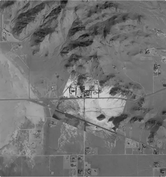
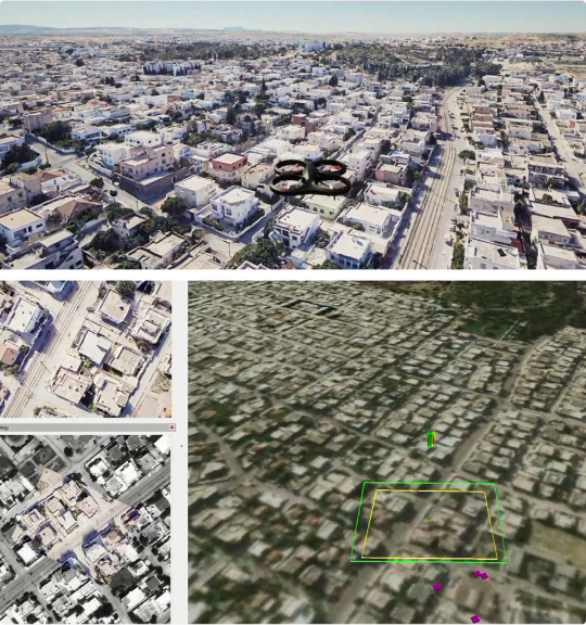
Between imagery stitching, geo-rectification, and our own real time photogrammetry technologies we can provide GPS-denied navigation, accurate enroute surveying, geo and ortho rectification mapping, and 3D reconstructions for planning or simulations.  

Multi-modal Fusion

We take multiple modalities and fuze, blend and overlay to provide extreme contrast and detail for better detection and recognition. 

EO/IR Systems

Developing hyperspectral and multispectral imaging systems is the core of what we do. We’ve developed sensors using a wide variety of instrument types and are continuously improving the software control system for our sensors that cover a wide range of configurations. Performance characteristics range from ultra-high-speed events like missile intercept and kill assessment to those with very low noise requirements.
Screen of EO:IR Systems

Hyperspectral & Multispectral Imaging

Our systems cover wavelength ranges from UV-visible to Near Infrared (NIR), Short Wave Infrared (SWIR) up to Mid Wave Infrared (MWIR) and Long Wave Infrared (LWIR). 

Remote Sensing Systems

Our camera systems use numerous wavelengths to detect, monitor then acquire physical characteristics of environments.

Image Enhancement

Our image processing technologies find information in poor quality images and video. Our technology allows savings in size, weight, power, and cost (SWaP-C) with performance equal to more expensive sensors.

Modeling & Simulation

Modeling & Simulation

Highly complex system-of-systems (SoS) are being integrated into the modern-day battlefield leveraging advanced sensors and avionics with machine learning models and simulation environments.  Due to scale, cost, and safety concerns of testing these systems in real life, OKSI uses the latest digital engineering methods to design, test, validate, and deploy autonomous vehicles in photorealistic 3D environments.


Digital
Engineering

Virtual representations of computer networking architecture helps replicate the modern-day battlefield. Our Digital Twin capabilities can simulate real-world scenarios before activating in live environments.

Physics-based
Simulation

We maintain simulation environments that leverage Unreal, Unity, Common Scene Generator (CSG), AFSIM, FLITES, MODTRAN, DIRSIG, and others.

Latest News

Complete the form below for more information:

Background of blue particles